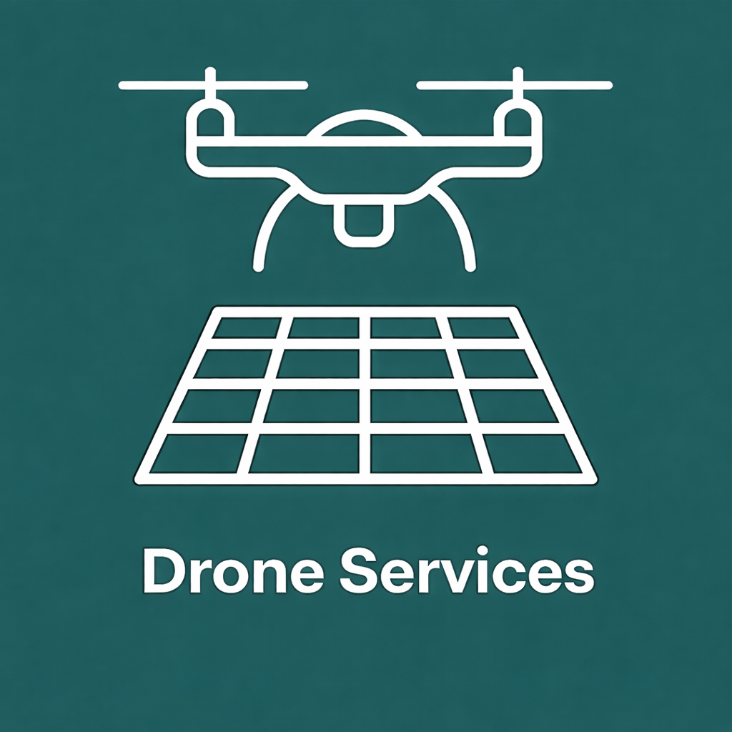

DRONE SERVICES
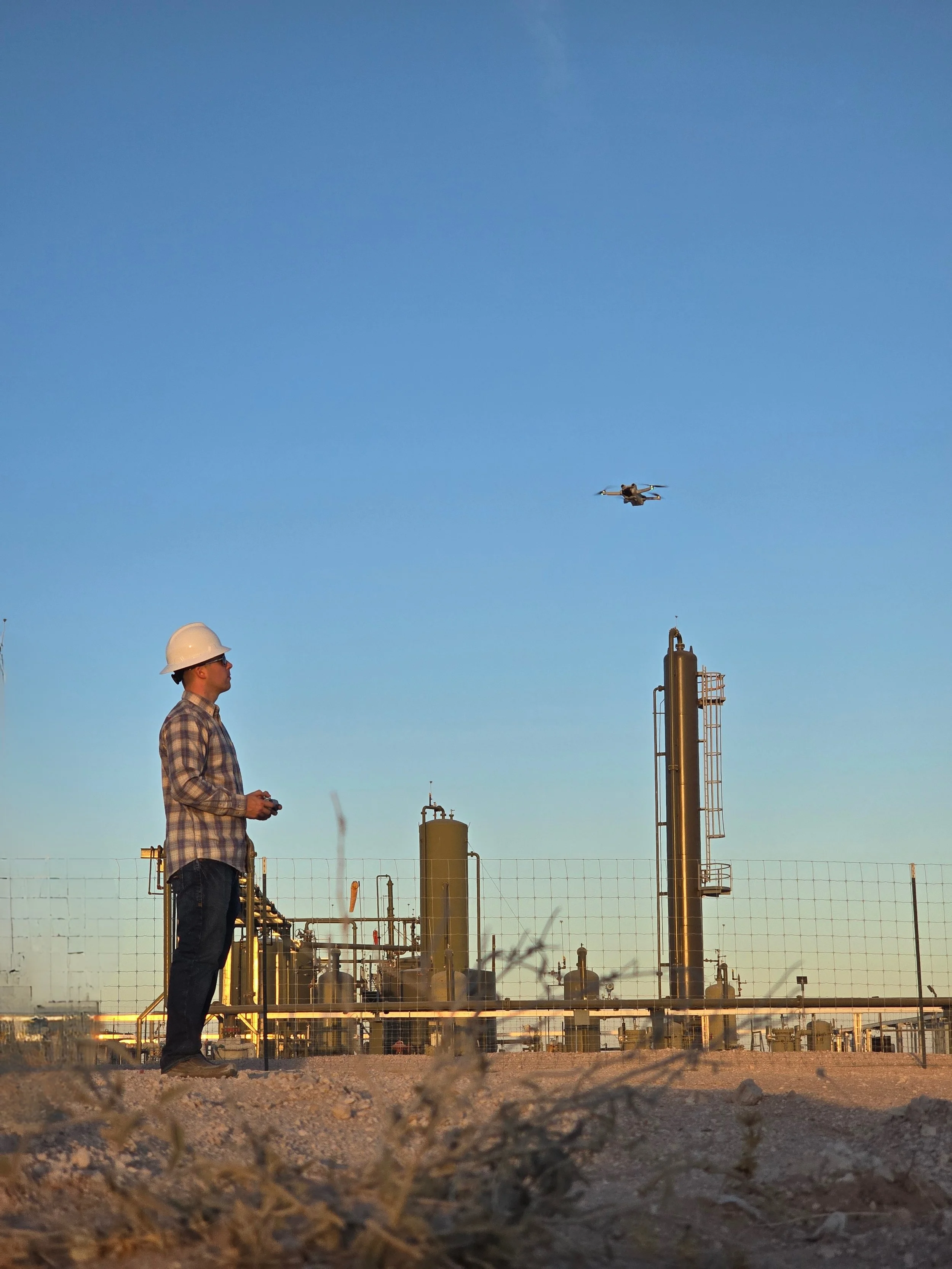
LiDAR Mapping & Methane Detection for Compliance and Safety
Altara Drone Services use DJI Matrice 350 RTK drones equipped with Zenmuse L2 LiDAR and Purway TDLAS methane sensors to capture high-accuracy 3D data and emission profiles.
Capabilities
- Facility & pipeline mapping
- Methane detection (leak detection)
- 3D models and volumetric reports
- Orthomosaic and topographic mapping
Deliverables
- LiDAR point clouds (LAS/DWG)
- Methane plume maps
- Facility orthos & reports
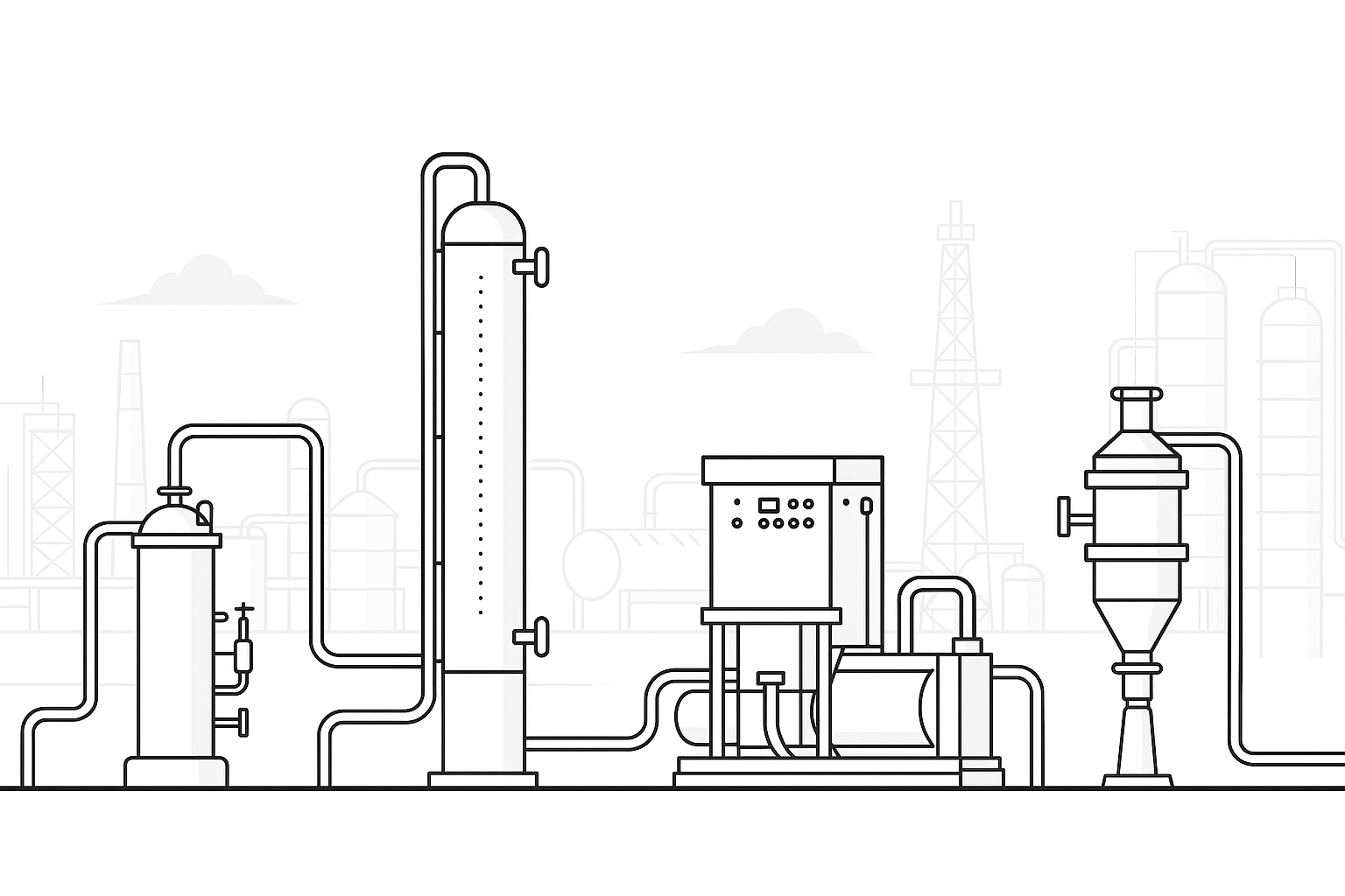
Our Core Offerings
-
![VIDARR Oil Towers]()
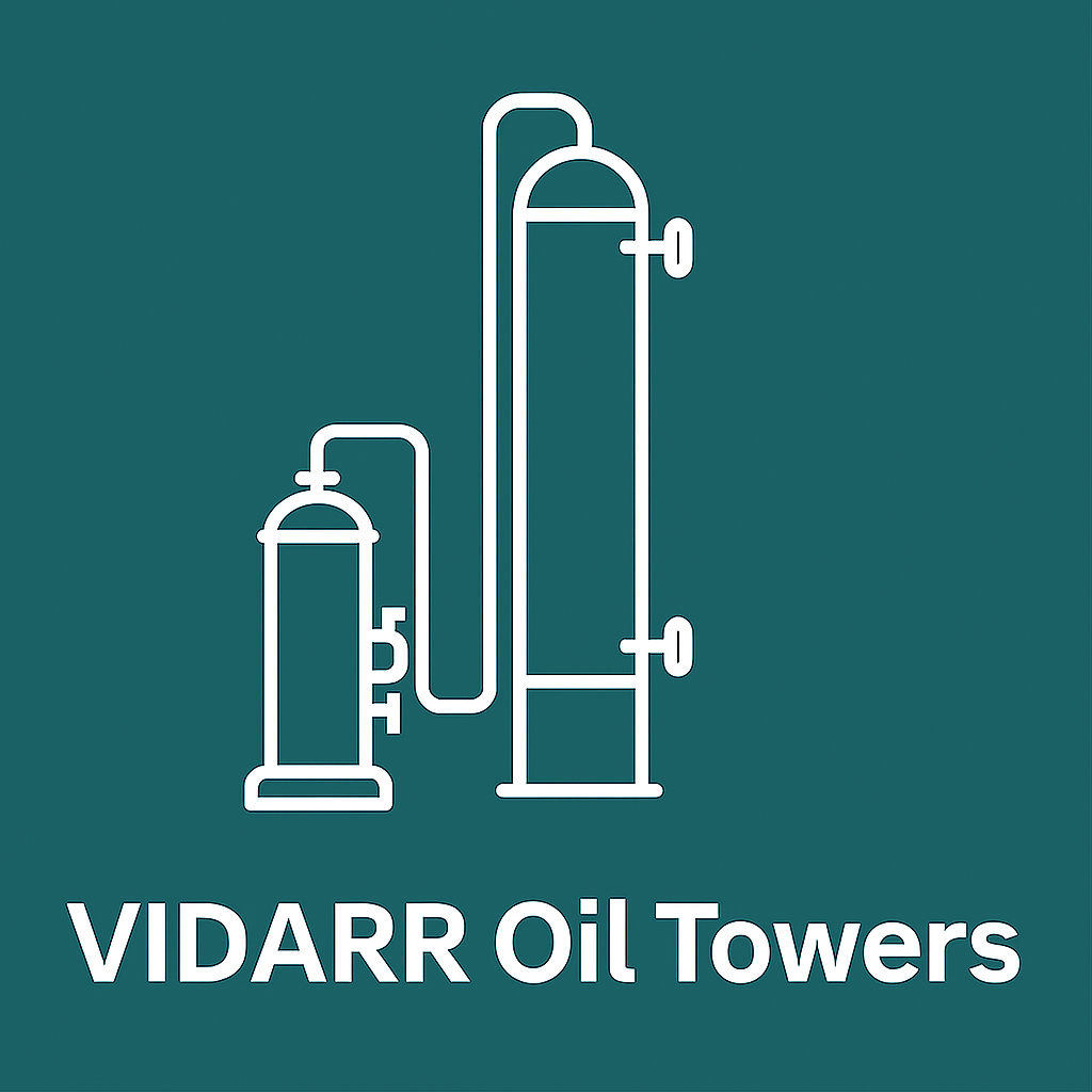
VIDARR — The Mechanical Way to Sweeten Oil
-
![THOR Water Towers]()
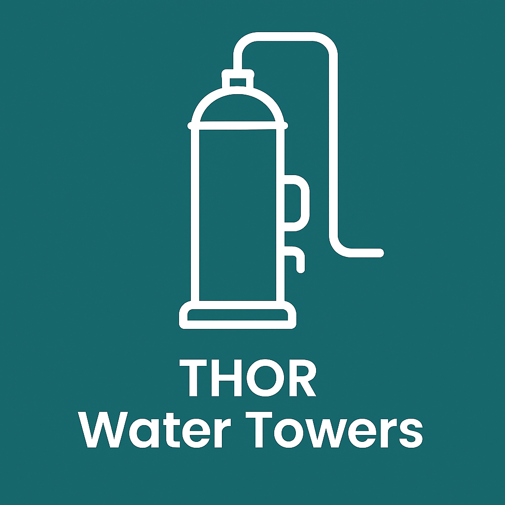
THOR — High-Rate Sour Water Treatment Towers
-
![Rotary Screw Compressor]()
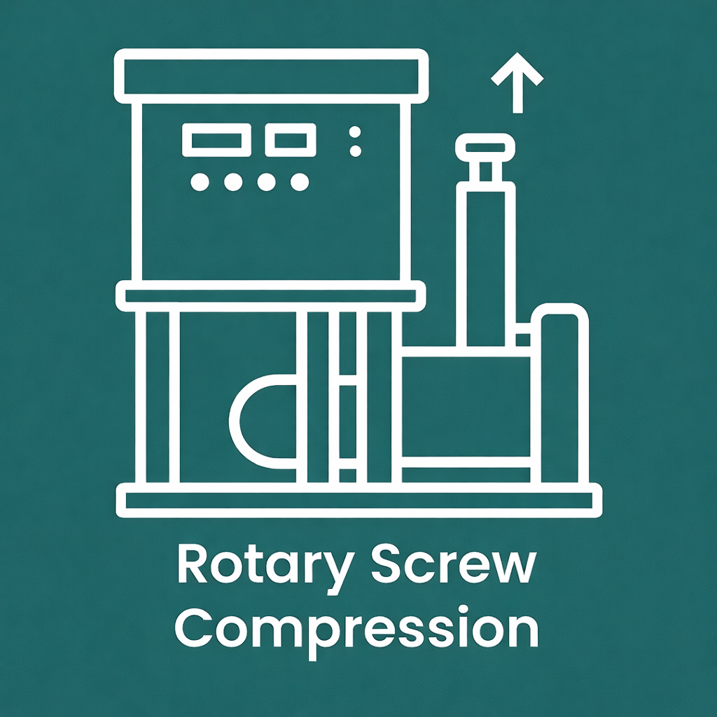
Compression Solutions for Sour Gas Recovery and Reinjection
-
![Zephyrus Cyclonic]()
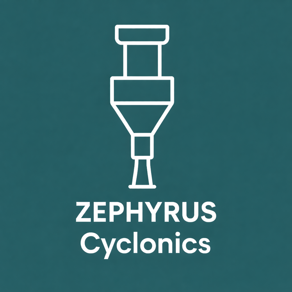
ZEPHYRUS — Pre-Separation, Re-Engineered
-
![LIDAR Mapping]()
LiDAR Mapping & Methane Detection for Compliance and Safet
-
![Consulting]()
From Process Design to Full Facility Modeling